GPS hiking app OsmAnd
OsmAnd is a GPS mapping and navigation application for Android and iOS. It is available in a free version (limited to 10 maps) or paid version. This application uses OpenStreeMap‘s worldwide map database and allows a simple click to download them for offline use (without internet connection). The navigation, visual and/or vocal, is configurable for a car, bicycle or pedestrian mode..
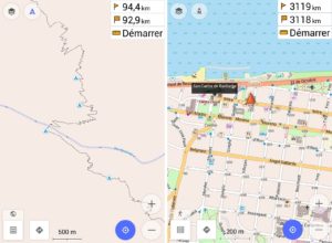
With its offline mode, OsmAnd is perfectly suited to treks, which are generally in areas without internet coverage (wifi, 4G…). With its simple and clear interface, all you have to do is download the map of the country on the memory of your device, import your tracks/waypoints in GPX format (compatible with the tracks of the Guide Apacheta), and you’re done. This application works as well on tablet as on smartphone. Thanks to the GPS reception of your device, you can easily locate yourself on the map and record your route in GPX format.
Its main assets for the trek
- Ease of use (on smartphone or tablet)
- Free global mapping
- Automatic map update
- Ease of downloading maps
- Can be used without internet connection
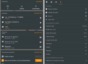
- Integrated search engine (to find an address)
- Displaying points of interest on maps
- Import/Export traces in GPX format
- Recording tracks in the background (screen off
Website: www.osmand.net


